The Alps, a frontier? - Exhibition catalogue
GB107994
Written in French.
The Relief Map Museum, created in 1943 and now in the process of redeveloping its collections, is the heir to some 260 models representing 150 fortified towns built between 1668, on the initiative of Louis XIV, and 1873.
This collection, the only one of its kind in the world, has...
Read more
Written in French.
The Relief Map Museum, created in 1943 and now in the process of redeveloping its collections, is the heir to some 260 models representing 150 fortified towns built between 1668, on the initiative of Louis XIV, and 1873.
This collection, the only one of its kind in the world, has been listed as a historic monument since 1927, and now houses around a hundred relief models.
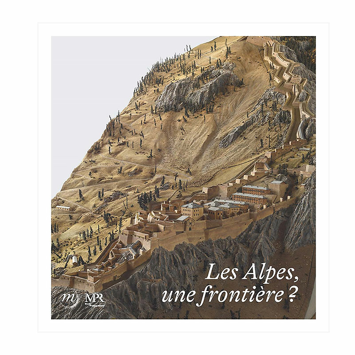
Taking as its starting point the relief map of the fortress of Mont-Dauphin (Hautes-Alpes), built by Vauban from 1693 onwards to improve the defence of the Alpine border and block the road to Italy, and that of the fortress of Fenestrelle, located in Piedmont, On the other side of the border, construction of the fortress began in 1728 and was to last over a hundred years. The exhibition looks at the relationship between France and Italy through the evolution of their border from the 16th to the 20th century and the defence of the territory on both sides. A natural demarcation line, the Alps reflect the complex mechanisms at work in the concept of the border, which we need to reexamine more than ever today.
Exhibition in Paris, at the Relief Map Museum from June 2nd 2023 to January 8th 2024
Written in French.
72 pages / 45 illustrations
Coédition Rmn - Grand Palais / Musée des Plans-Reliefs
Close
Login to see prices
Sold by GrandPalaisRmn

